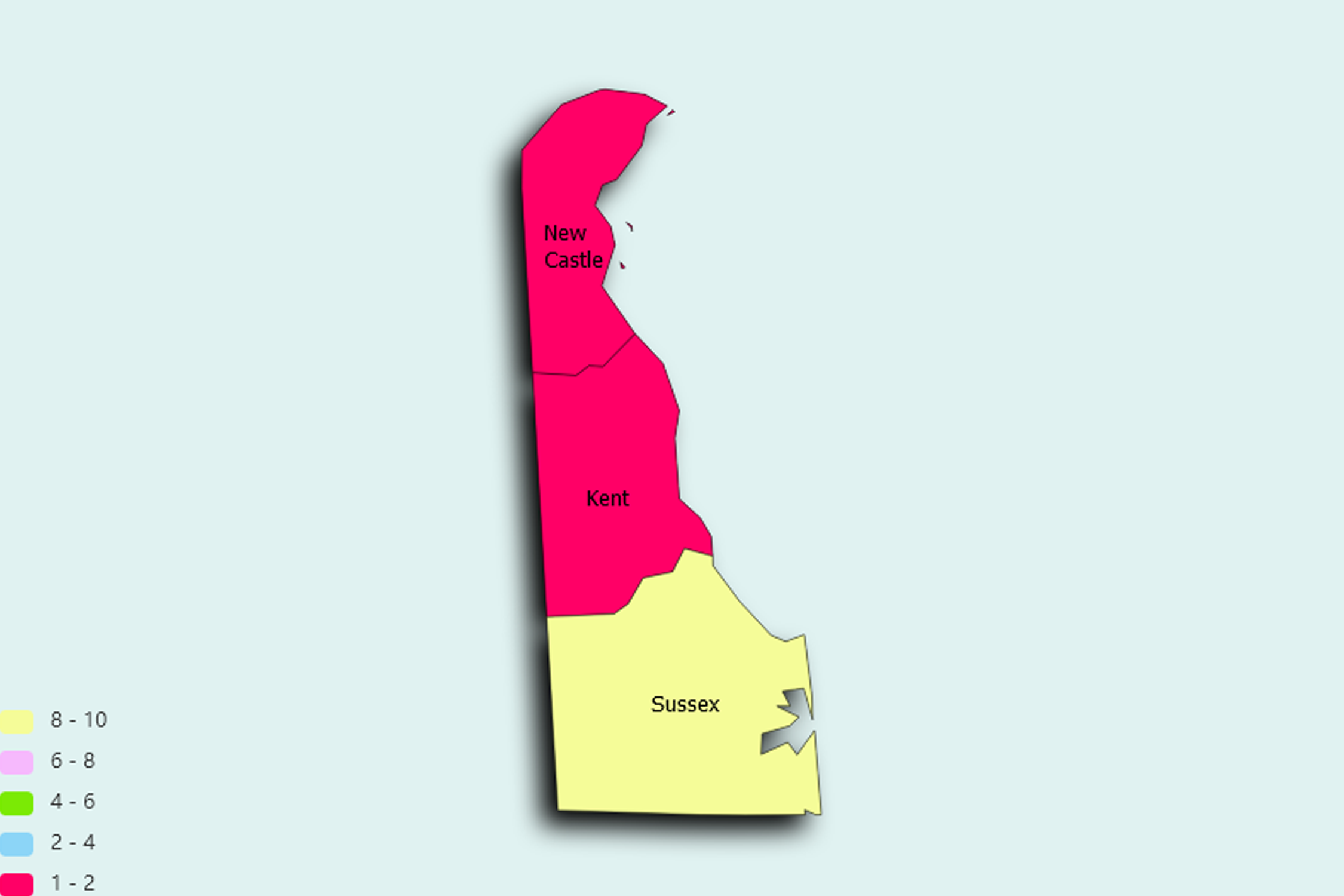
Delaware State Statistics
About: Find out about your mental health and make a difference to everyday in your life.
![]() Population: 82672
Population: 82672
![]() Population: 71817
Population: 71817
![]() Population: 70573
Population: 70573
![]() Population: 44493
Population: 44493
![]() Population: 38118
Population: 38118
![]() Population: 37355
Population: 37355
![]() Population: 33750
Population: 33750
![]() Population: 33008
Population: 33008
![]() Population: 30902
Population: 30902
![]() Population: 25793
Population: 25793
![]() Population: 21857
Population: 21857
![]() Population: 19910
Population: 19910
![]() Population: 19371
Population: 19371
![]() Population: 14353
Population: 14353
![]() Population: 14303
Population: 14303
![]() Population: 13527
Population: 13527
![]() Population: 11217
Population: 11217
![]() Population: 11170
Population: 11170
![]() Population: 10179
Population: 10179
![]() Population: 8253
Population: 8253
![]() Population: 7980
Population: 7980
![]() Population: 7898
Population: 7898
![]() Population: 7889
Population: 7889
![]() Population: 7417
Population: 7417
![]() Population: 6891
Population: 6891
![]() Population: 6152
Population: 6152
![]() Population: 5877
Population: 5877
![]() Population: 5677
Population: 5677
![]() Population: 5379
Population: 5379
Delaware State, constituent state of the United States of America. The first of the original 13 states to ratify the federal Constitution, it occupies a small niche in the Boston–Washington, D.C., urban corridor along the Middle Atlantic seaboard. It ranks 49th among the 50 U.S. states in terms of total area and is one of the most densely populated.

About: Find out about your mental health and make a difference to everyday in your life.