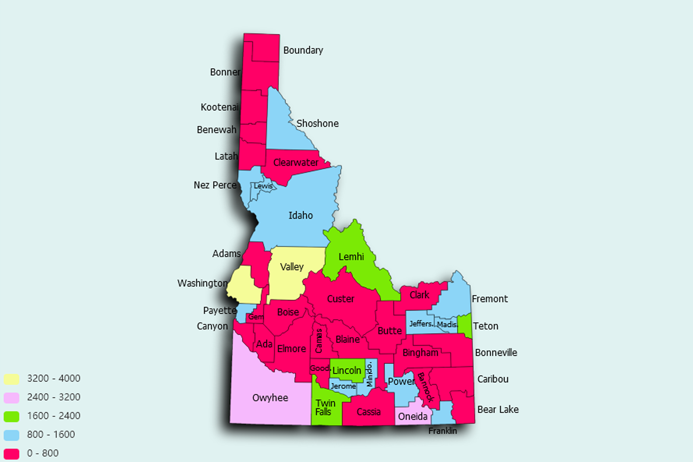
Idaho State Statistics
About: Find out about your mental health and make a difference to everyday in your life.
![]() Population: 216282
Population: 216282
![]() Population: 88211
Population: 88211
![]() Population: 87743
Population: 87743
![]() Population: 58691
Population: 58691
![]() Population: 54292
Population: 54292
![]() Population: 50224
Population: 50224
![]() Population: 47912
Population: 47912
![]() Population: 46528
Population: 46528
![]() Population: 32482
Population: 32482
![]() Population: 29896
Population: 29896
![]() Population: 27094
Population: 27094
![]() Population: 24767
Population: 24767
![]() Population: 24416
Population: 24416
![]() Population: 22502
Population: 22502
![]() Population: 18120
Population: 18120
![]() Population: 16999
Population: 16999
![]() Population: 14685
Population: 14685
![]() Population: 14229
Population: 14229
![]() Population: 13946
Population: 13946
![]() Population: 13870
Population: 13870
![]() Population: 13780
Population: 13780
![]() Population: 12022
Population: 12022
![]() Population: 11814
Population: 11814
![]() Population: 11420
Population: 11420
![]() Population: 11189
Population: 11189
![]() Population: 10480
Population: 10480
![]() Population: 9573
Population: 9573
![]() Population: 8076
Population: 8076
![]() Population: 7760
Population: 7760
![]() Population: 7422
Population: 7422
![]() Population: 7295
Population: 7295
![]() Population: 7283
Population: 7283
![]() Population: 6599
Population: 6599
![]() Population: 6420
Population: 6420
![]() Population: 5969
Population: 5969
![]() Population: 5859
Population: 5859
![]() Population: 5673
Population: 5673
![]() Population: 5356
Population: 5356
![]() Population: 5296
Population: 5296
![]() Population: 5217
Population: 5217
Idaho State, constituent state of the United States of America. It ranks 14th among the 50 U.S. states in terms of total area. Its boundaries—with the Canadian province of British Columbia to the north and the U.S. states of Montana and Wyoming to the east, Utah and Nevada to the south, and Oregon and Washington to the west—are both historical and geographic in derivation.

About: Find out about your mental health and make a difference to everyday in your life.