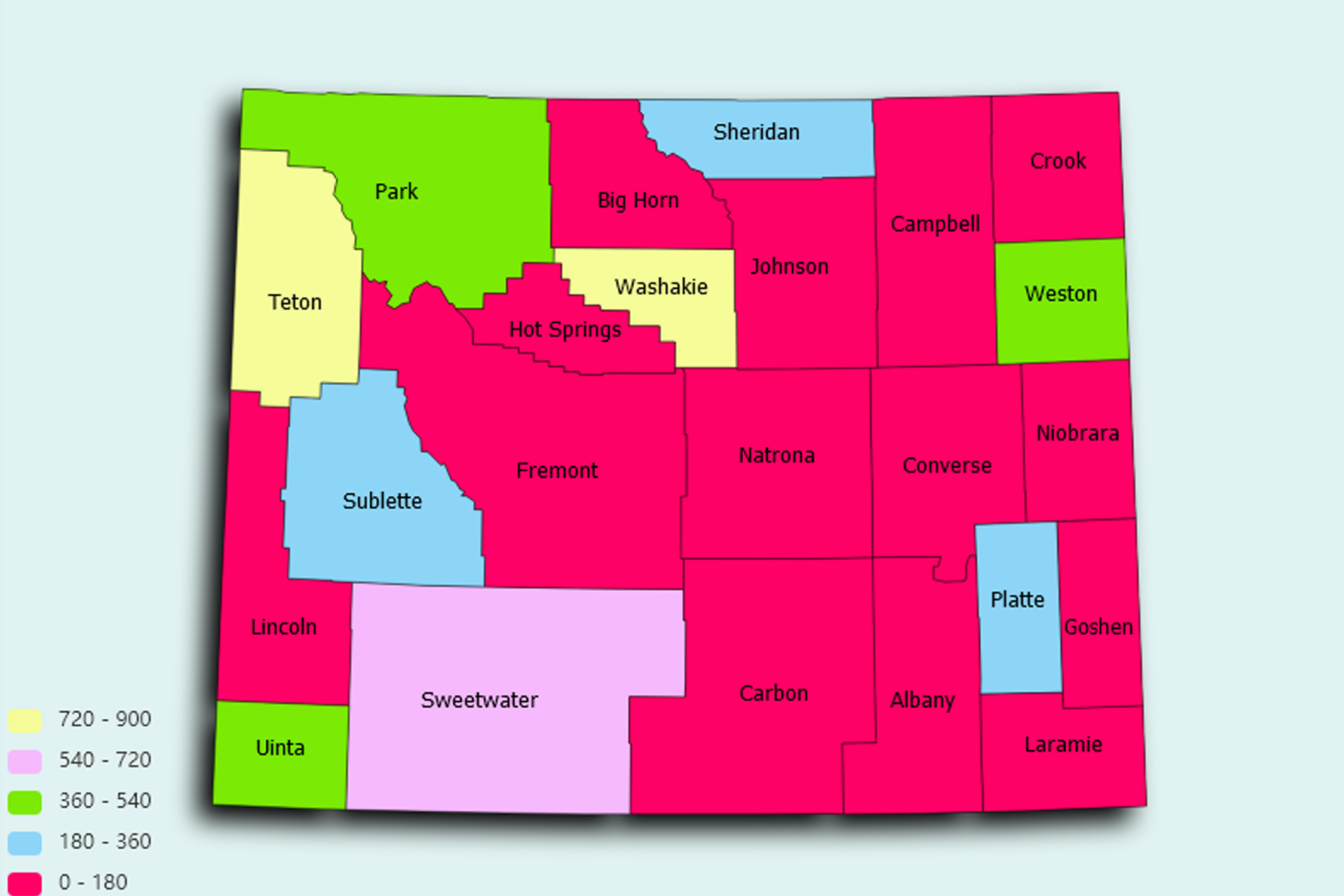
Wyoming State Statistics
About: The Register of the Desert, a huge granite boulder covering 27 acres with 5,000 early pioneer names carved on it
![]() Population: 62845
Population: 62845
![]() Population: 60086
Population: 60086
![]() Population: 32081
Population: 32081
![]() Population: 31971
Population: 31971
![]() Population: 24157
Population: 24157
![]() Population: 24045
Population: 24045
![]() Population: 19309
Population: 19309
![]() Population: 17916
Population: 17916
![]() Population: 12630
Population: 12630
![]() Population: 12190
Population: 12190
![]() Population: 10953
Population: 10953
![]() Population: 10449
Population: 10449
![]() Population: 9740
Population: 9740
![]() Population: 9227
Population: 9227
![]() Population: 7642
Population: 7642
![]() Population: 6736
Population: 6736
![]() Population: 6423
Population: 6423
![]() Population: 6407
Population: 6407
![]() Population: 6088
Population: 6088
![]() Population: 5834
Population: 5834
![]() Population: 5798
Population: 5798
![]() Population: 5366
Population: 5366
Wyoming State, constituent state of the United States of America. Wyoming became the 44th state of the union on July 10, 1890. It ranks 10th among the 50 U.S. states in terms of total area. It shares boundaries with six other Great Plains and Mountain states: Montana to the north and northwest, South Dakota and Nebraska to the east, Colorado to the south, Utah to the southwest, and Idaho to the west. Cheyenne, the capital, is located in the southeastern corner of the state.

About: The Register of the Desert, a huge granite boulder covering 27 acres with 5,000 early pioneer names carved on it