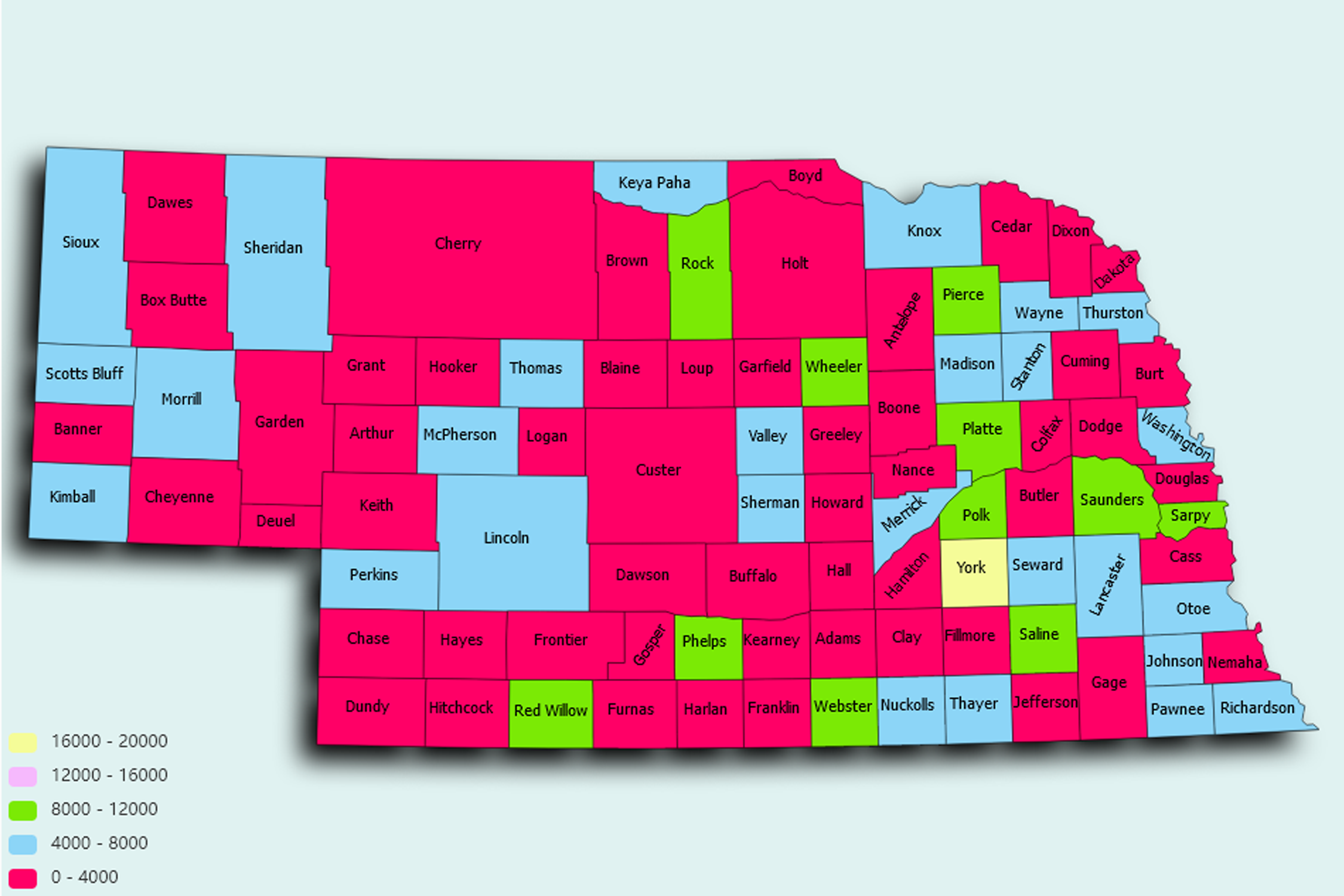
Nebraska State Statistics
About: The only roller skating museum in the world, in Lincoln
![]() Population: 446599
Population: 446599
![]() Population: 272996
Population: 272996
![]() Population: 53936
Population: 53936
![]() Population: 51236
Population: 51236
![]() Population: 32469
Population: 32469
![]() Population: 26500
Population: 26500
![]() Population: 24915
Population: 24915
![]() Population: 24444
Population: 24444
![]() Population: 24327
Population: 24327
![]() Population: 23270
Population: 23270
![]() Population: 22630
Population: 22630
![]() Population: 17636
Population: 17636
![]() Population: 14875
Population: 14875
![]() Population: 13360
Population: 13360
![]() Population: 12055
Population: 12055
![]() Population: 10994
Population: 10994
![]() Population: 10146
Population: 10146
![]() Population: 8519
Population: 8519
![]() Population: 8372
Population: 8372
![]() Population: 7986
Population: 7986
![]() Population: 7957
Population: 7957
![]() Population: 7611
Population: 7611
![]() Population: 7265
Population: 7265
![]() Population: 7216
Population: 7216
![]() Population: 7128
Population: 7128
![]() Population: 7034
Population: 7034
![]() Population: 6914
Population: 6914
![]() Population: 6487
Population: 6487
![]() Population: 6486
Population: 6486
![]() Population: 6169
Population: 6169
![]() Population: 5890
Population: 5890
![]() Population: 5767
Population: 5767
![]() Population: 5577
Population: 5577
![]() Population: 5508
Population: 5508
Nebraska State, constituent state of the United States of America. It was admitted to the union as the 37th state on March 1, 1867. Nebraska is bounded by the state of South Dakota to the north, with the Missouri River making up about one-fourth of that boundary and the whole of Nebraska’s boundaries with the states of Iowa and Missouri to the east. The boundary with Kansas to the south was established when the two territories were created by the Kansas-Nebraska Act in 1854. In the southwestern part of the state, the boundary with Colorado forms a right angle (south and west), which creates Nebraska’s panhandle, to the west of which is the boundary with Wyoming. Lincoln, in the southeastern part of the state, is the capital.

About: The only roller skating museum in the world, in Lincoln