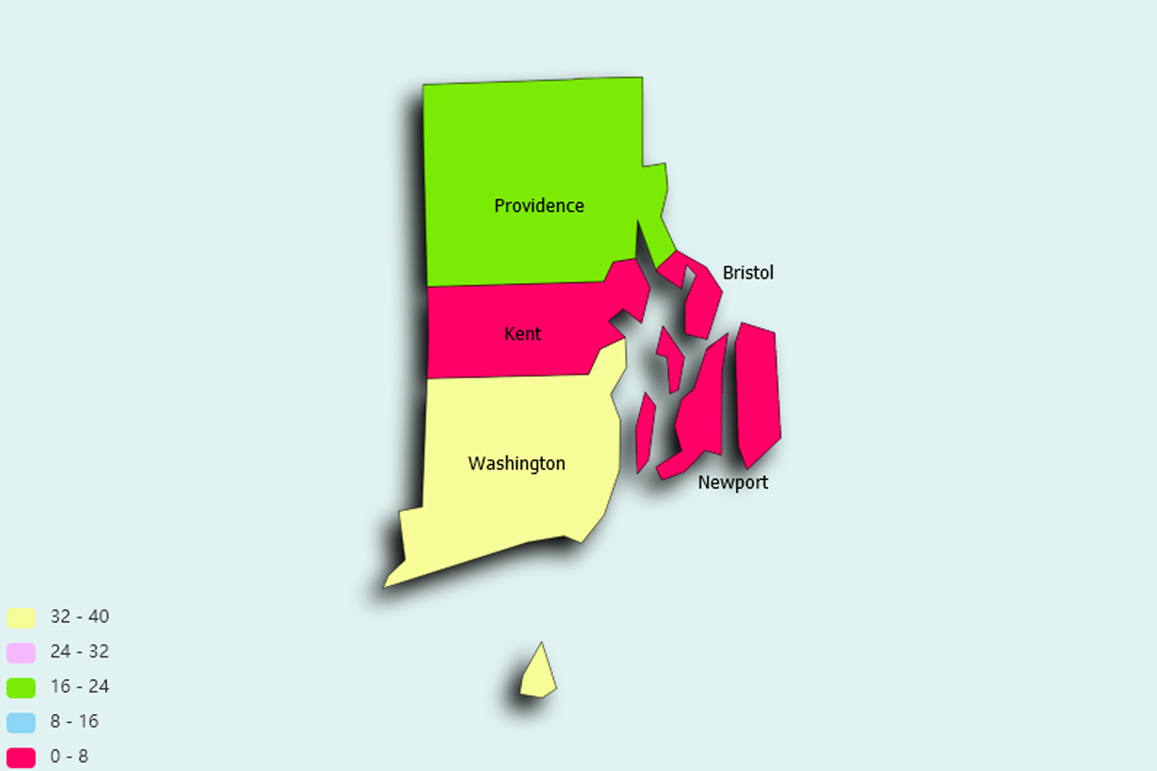
Rhode Island State Statistics
About: Rhode Island Red chickens, first bred in 1854; the start of poultry as a major American industry
![]() Population: 179154
Population: 179154
![]() Population: 81963
Population: 81963
![]() Population: 81037
Population: 81037
![]() Population: 71499
Population: 71499
![]() Population: 47331
Population: 47331
![]() Population: 41228
Population: 41228
![]() Population: 35014
Population: 35014
![]() Population: 33506
Population: 33506
![]() Population: 32691
Population: 32691
![]() Population: 30639
Population: 30639
![]() Population: 29788
Population: 29788
![]() Population: 28769
Population: 28769
![]() Population: 26486
Population: 26486
![]() Population: 24089
Population: 24089
![]() Population: 22139
Population: 22139
![]() Population: 21430
Population: 21430
![]() Population: 21105
Population: 21105
![]() Population: 19328
Population: 19328
![]() Population: 17936
Population: 17936
![]() Population: 17389
Population: 17389
![]() Population: 16572
Population: 16572
![]() Population: 16150
Population: 16150
![]() Population: 15955
Population: 15955
![]() Population: 15868
Population: 15868
![]() Population: 13146
Population: 13146
![]() Population: 11967
Population: 11967
![]() Population: 11769
Population: 11769
![]() Population: 11547
Population: 11547
![]() Population: 10611
Population: 10611
![]() Population: 10329
Population: 10329
![]() Population: 9746
Population: 9746
![]() Population: 9485
Population: 9485
![]() Population: 8658
Population: 8658
![]() Population: 8487
Population: 8487
![]() Population: 8188
Population: 8188
![]() Population: 7934
Population: 7934
![]() Population: 7827
Population: 7827
![]() Population: 7708
Population: 7708
![]() Population: 7557
Population: 7557
![]() Population: 6974
Population: 6974
![]() Population: 6425
Population: 6425
![]() Population: 6135
Population: 6135
![]() Population: 5405
Population: 5405
Rhode Island State, constituent state of the United States of America. It was one of the original 13 states and is one of the six New England states. Rhode Island is bounded to the north and east by Massachusetts, to the south by Rhode Island Sound and Block Island Sound of the Atlantic Ocean, and to the west by Connecticut. It is the smallest state in the union—only about 48 miles (77 km) long and 37 miles (60 km) wide—but is, however, one of the most densely populated states.

About: Rhode Island Red chickens, first bred in 1854; the start of poultry as a major American industry