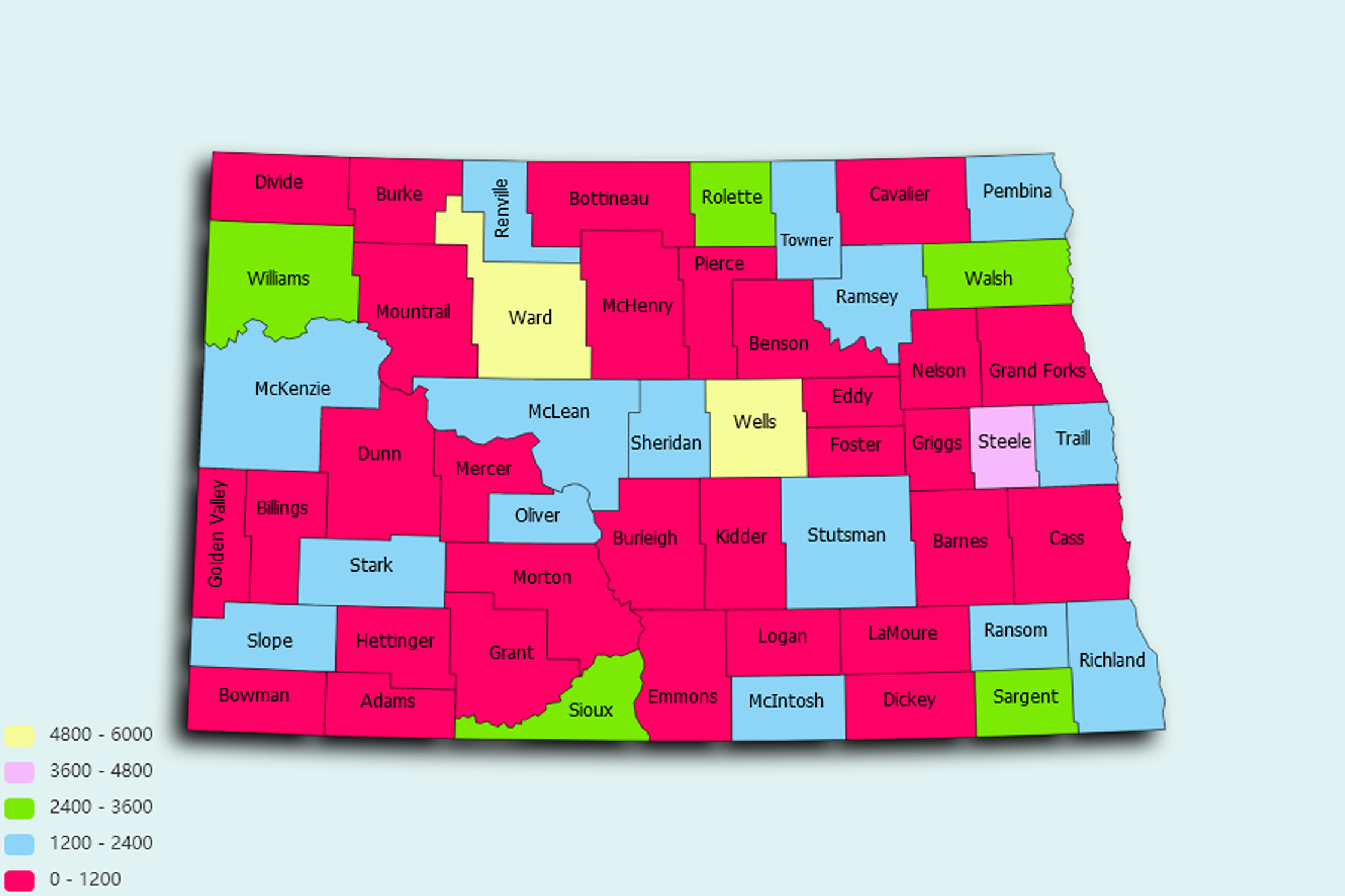
North Dakota State Statistics
About: The geographic center of North America, in Pierce County, near Balta
![]() Population: 115863
Population: 115863
![]() Population: 68896
Population: 68896
![]() Population: 56057
Population: 56057
![]() Population: 47997
Population: 47997
![]() Population: 31771
Population: 31771
![]() Population: 24562
Population: 24562
![]() Population: 22322
Population: 22322
![]() Population: 20820
Population: 20820
![]() Population: 15446
Population: 15446
![]() Population: 7903
Population: 7903
![]() Population: 7288
Population: 7288
![]() Population: 6676
Population: 6676
![]() Population: 5521
Population: 5521
North Dakota State, constituent state of the United States of America. North Dakota was admitted to the union as the 39th state on November 2, 1889. A north-central state, it is bounded by the Canadian provinces of Saskatchewan and Manitoba to the north and by the U.S. states of Minnesota to the east, South Dakota to the south, and Montana to the west. The North Dakota town of Rugby is considered to be the geographic centre of the North American continent. Bismarck, located in the centre of the state, is the capital.

About: The geographic center of North America, in Pierce County, near Balta