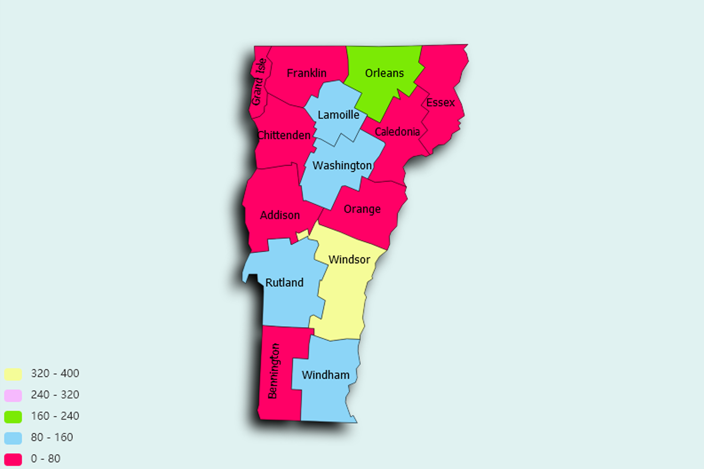
Vermont State Statistics
About: The largest production of maple syrup in the U.S.
![]() Population: 42211
Population: 42211
![]() Population: 19587
Population: 19587
![]() Population: 18743
Population: 18743
![]() Population: 17067
Population: 17067
![]() Population: 15942
Population: 15942
![]() Population: 9952
Population: 9952
![]() Population: 9881
Population: 9881
![]() Population: 9074
Population: 9074
![]() Population: 8837
Population: 8837
![]() Population: 8698
Population: 8698
![]() Population: 7671
Population: 7671
![]() Population: 7414
Population: 7414
![]() Population: 7228
Population: 7228
![]() Population: 7144
Population: 7144
![]() Population: 6860
Population: 6860
![]() Population: 6588
Population: 6588
![]() Population: 6193
Population: 6193
![]() Population: 5981
Population: 5981
![]() Population: 5282
Population: 5282
![]() Population: 5227
Population: 5227
Vermont State, constituent state of the United States of America. One of the six New England states lying in the northeastern corner of the country, it was admitted to the union on March 4, 1791, as the 14th state. It is sparsely populated, and its capital, Montpelier, is one of the least-populous U.S. state capitals. Vermont is bordered to the north by Quebec, Canada, to the east by New Hampshire, to the south by Massachusetts, and to the west by New York.

About: The largest production of maple syrup in the U.S.